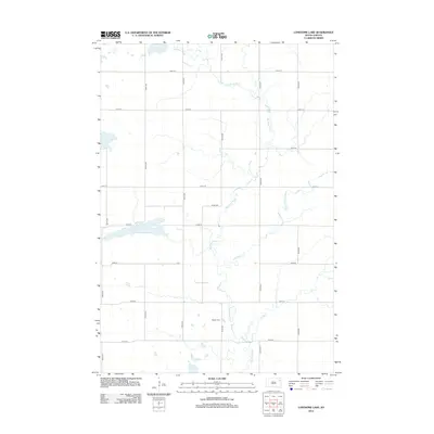
2012 Map of Lonesome Lake
USGS Topo · Published 2012About this map
The Big Sioux River and Indian River converge in this corner of Codington County, shaping a landscape defined by prairie water systems and a precise grid of rural section roads. This 2012 survey documents a sparsely populated agricultural region where the hydrology remains the primary landmark. To the west, the namesake Lonesome Lake provides a notable basin amidst the cultivated fields. For those researching local family history, the Bergen Cem stands as a significant point of interest, situated along 451st Ave near the river's winding course. The map illustrates the persistent structure of the Great Plains township system, where numbered roads like 151st St and 450th Ave facilitate access to isolated farmsteads and rural properties.
Find a feature on this map
18 named features on this map. Tap any name to fly to it.
Don’t see what you’re looking for? This feature index may not catch every label — zoom into the map to look around manually.
Map Details
Editions of this 2012 Lonesome Lake Map
This is the sole edition of this map. No revisions or reprints were ever made.
Other maps of this area

1953 · Milbank
USGS Topo · 1:250,000

1958 · Milbank
USGS Topo · 1:250,000

1970 · Summit
USGS Topo · 1:24,000

1970 · Lonesome Lake
USGS Topo · 1:24,000

1970 · Still Lake SE
USGS Topo · 1:24,000

1970 · Waubay
USGS Topo · 1:24,000

1970 · Florence NE
USGS Topo · 1:24,000

1970 · Ortley
USGS Topo · 1:24,000

1970 · Still Lake NE
USGS Topo · 1:24,000

1970 · Still Lake
USGS Topo · 1:24,000
Featured Places
- Germantown Township, SD
- Enemy Swim District, SD
- Dexter Township, SD
- Codington County, SD
- Grant County, SD