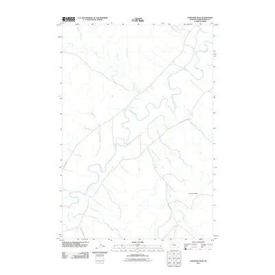
2011 Map of Lonesome Peak
USGS Topo · Published 2011About this map
The Powder River carves a winding, serpentine path through the heart of this landscape in Powder River County. The river's high-banked turns and broad floodplains are the central geographical feature, flanked by a network of drainage systems such as Cache Creek and Baking Powder Creek. To the southeast, the topography rises toward the solitary summit of Lonesome Peak, which serves as a significant landmark in this stretch of southeastern Montana.
Find a feature on this map
21 named features on this map. Tap any name to fly to it.
Don’t see what you’re looking for? This feature index may not catch every label — zoom into the map to look around manually.
Map Details
Editions of this 2011 Lonesome Peak Map
This is the sole edition of this map. No revisions or reprints were ever made.
Other maps of this area

1954 · Ekalaka
USGS Topo · 1:250,000

1956 · Ekalaka
USGS Topo · 1:250,000

1958 · Ekalaka
USGS Topo · 1:250,000

1965 · Ekalaka
USGS Topo · 1:250,000

1970 · Baldy Peak
USGS Topo · 1:24,000

1970 · Huckins School
USGS Topo · 1:24,000

1970 · Bear Skull Mountain
USGS Topo · 1:24,000

1973 · Lonesome Peak
USGS Topo · 1:24,000
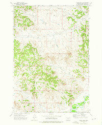
1973 · Yarger Butte
USGS Topo · 1:24,000
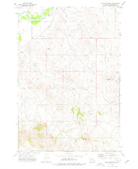
1973 · Eldon Mountain
USGS Topo · 1:24,000