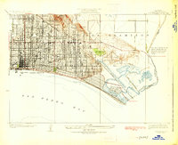
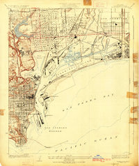
1925 Map of Long Beach
USGS Topo · Published 1925About this map
The burgeoning oil and residential landscape of the mid-1920s is laid bare in this survey, where the prominent elevation of Signal Hill towers over an expanding grid of streets. The coastline is defined by leisure and transit, featuring the Pine Avenue Pier and Belmont Pier alongside the extensive tracks of the Pacific Electric railroad. To the east, the development of Naples and the nearby Alamitos Bay illustrate the transformation of the waterfront into a structured community, while the presence of Bixby Ranch and Bixby School points to the agrarian roots and family-held estates that preceded the urban sprawl. This map captures the transition from open ranch land to a dense city, with industrial markers like a Water Tank and the channel of the Gabriel River framing the coastal development.
Find a feature on this map
22 named features on this map. Tap any name to fly to it.
Don’t see what you’re looking for? This feature index may not catch every label — zoom into the map to look around manually.
Map Details
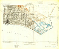
Editions of this 1925 Long Beach Map
2 editions found
Other maps of this area

1896 · Las Bolsas
USGS Topo · 1:62,500

1896 · Downey
USGS Topo · 1:62,500

1899 · Downey
USGS Topo · 1:62,500

1901 · Southern California Sheet No. 1
USGS Topo · 1:250,000

1902 · Downey
USGS Topo · 1:62,500

1904 · Southern California Sheet No. 1
USGS Topo · 1:250,000
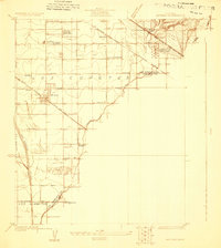
1923 · Artesia
USGS Topo · 1:24,000

1923 · Wilmington
USGS Topo · 1:24,000
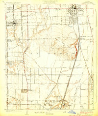
1924 · Compton
USGS Topo · 1:24,000
1925 · Wilmington
USGS Topo · 1:24,000