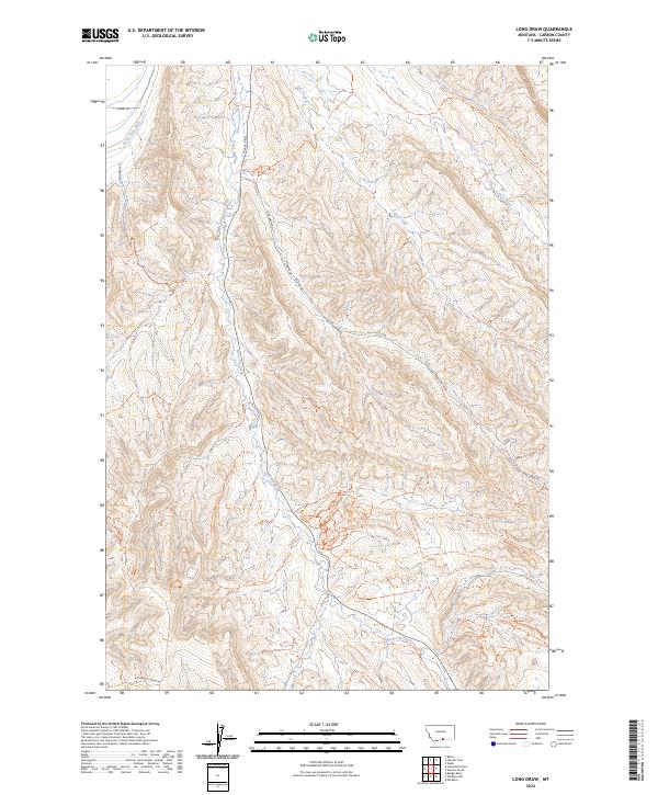
2024 Map of Long Draw
USGS Topo · Published 2024About this map
Long Draw and the surrounding drainage systems of Carbon County define the landscape of this high plains region as it appeared in the early 2020s. The topographic detail follows the north-south progression of Silver Tip Creek, which is paralleled by S Silvertip Rd and crossed by local thoroughfares such as Lovers Ln and Musgrave Ln. The map reveals a transition from managed water systems like Rocky Point Ditch in the northwest to the more remote backcountry terrain where Cub Creek Trl follows its namesake drainage. Agricultural and ranching infrastructure is evident in the network of secondary roads, including Long Draw Rd and Hollenbeck Draw Rd, which provide access through the complex of draws and ridges that characterize the eastern edge of the Beartooth foothills.
Find a feature on this map
16 named features on this map. Tap any name to fly to it.
Don’t see what you’re looking for? This feature index may not catch every label — zoom into the map to look around manually.
Map Details
Editions of this 2024 Long Draw Map
This is the sole edition of this map. No revisions or reprints were ever made.
Other maps of this area

1944 · Red Lodge
USGS Topo · 1:62,500

1950 · Clark
USGS Topo · 1:62,500

1954 · Billings
USGS Topo · 1:250,000

1955 · Cody
USGS Topo · 1:250,000

1957 · Billings
USGS Topo · 1:250,000

1958 · Billings
USGS Topo · 1:250,000

1958 · Cody
USGS Topo · 1:250,000

1962 · Cody
USGS Topo · 1:250,000

1966 · Elk Basin
USGS Topo · 1:24,000

1966 · Elk Basin NW
USGS Topo · 1:24,000