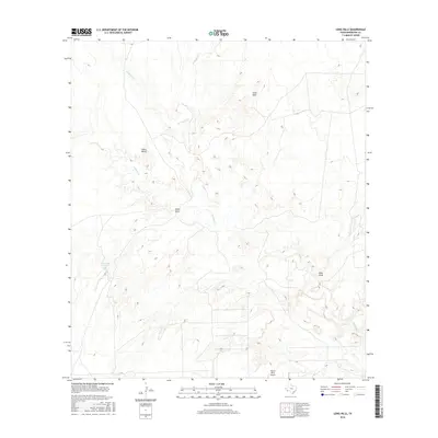
2016 Map of Long Hills
USGS Topo · Published 2016About this map
Terlingua Cr winds through the heart of this Brewster County landscape, serving as the primary drainage for the surrounding high desert terrain. The area is defined by significant elevation shifts, from the prominent Long Hills in the north to the wide expanse of Green Valley further west. Human activity is centered around several ranching and aviation landmarks, including the isolated Taurus Mesa Airport and Hammond Ranch Lake. The map details the intricate network of ephemeral waterways like Musgrave Cr, Crystal Cr, and Hale Draw, which shape the erosion patterns of the Texas Big Bend region. These geographic features illustrate the persistent relationship between sparse water resources and the land's utilization for large-scale ranching and private aviation in the early 21st century.
Find a feature on this map
9 named features on this map. Tap any name to fly to it.
Don’t see what you’re looking for? This feature index may not catch every label — zoom into the map to look around manually.
Map Details
Editions of this 2016 Long Hills Map
This is the sole edition of this map. No revisions or reprints were ever made.
Other maps of this area

1917 · Agua Fria
USGS Topo · 1:62,500

1917 · Tascotal Mesa
USGS Topo · 1:62,500

1917 · Buck Hill
USGS Topo · 1:62,500

1918 · Buck Hill
USGS Topo · 1:62,500

1918 · Jordan Gap
USGS Topo · 1:62,500

1925 · Buck Hill
USGS Topo · 1:62,500

1930 · Jordan Gap
USGS Topo · 1:62,500

1937 · Agua Fria
USGS Topo · 1:62,500

1944 · Tascotal Mesa
USGS Topo · 1:62,500

1959 · Emory Peak
USGS Topo · 1:250,000