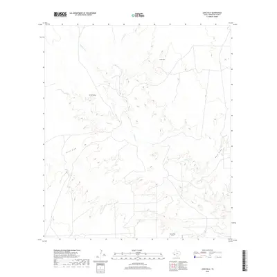
2019 Map of Long Hills
USGS Topo · Published 2019About this map
Terlingua Cr serves as the central drainage for this arid Brewster County landscape, carving a path through the high desert terrain of West Texas. The waterway is joined by several ephemeral tributaries, including Musgrave Cr and Crystal Cr, which drain the surrounding plateaus and canyons. The settlement of Green Valley sits in the northwestern portion of the map, while the elevated Long Hills dominate the northeastern quadrant.
Find a feature on this map
8 named features on this map. Tap any name to fly to it.
Don’t see what you’re looking for? This feature index may not catch every label — zoom into the map to look around manually.
Map Details
Editions of this 2019 Long Hills Map
This is the sole edition of this map. No revisions or reprints were ever made.
Other maps of this area

1917 · Agua Fria
USGS Topo · 1:62,500

1917 · Tascotal Mesa
USGS Topo · 1:62,500

1917 · Buck Hill
USGS Topo · 1:62,500

1918 · Buck Hill
USGS Topo · 1:62,500

1918 · Jordan Gap
USGS Topo · 1:62,500

1925 · Buck Hill
USGS Topo · 1:62,500

1930 · Jordan Gap
USGS Topo · 1:62,500

1937 · Agua Fria
USGS Topo · 1:62,500

1944 · Tascotal Mesa
USGS Topo · 1:62,500

1959 · Emory Peak
USGS Topo · 1:250,000