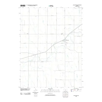
2009 Map of Long Island
USGS Topo · Published 2009About this map
Long Island serves as the primary hub of activity in this Phillips County landscape, where the confluence of Prairie Dog Creek and Elk Creek shapes the local topography. The town’s grid is clearly defined by streets such as Chandler St, Concord St, and Commercial St, reflecting its role as a residential and service center for the surrounding agricultural prairie. To the west and east, the map reveals the locations of Vineman Cemetery and Long Island Cemetery, providing valuable points of reference for genealogists and local historians tracing family lineages in the region.
Find a feature on this map
29 named features on this map. Tap any name to fly to it.
Don’t see what you’re looking for? This feature index may not catch every label — zoom into the map to look around manually.
Map Details
Editions of this 2009 Long Island Map
This is the sole edition of this map. No revisions or reprints were ever made.
Other maps of this area

1893 · Norton
USGS Topo · 1:125,000

1893 · Phillipsburg
USGS Topo · 1:125,000

1896 · Holdrege
USGS Topo · 1:125,000

1896 · Arapahoe
USGS Topo · 1:125,000

1898 · Arapahoe
USGS Topo · 1:125,000

1955 · Grand Island
USGS Topo · 1:250,000

1955 · Beloit
USGS Topo · 1:250,000

1957 · Grand Island
USGS Topo · 1:250,000

1957 · Precept
USGS Topo · 1:24,000

1957 · Stamford SE
USGS Topo · 1:24,000