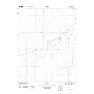
2012 Map of Long Island
USGS Topo · Published 2012About this map
Long Island serves as the central hub of this agricultural landscape in Phillips County, situated near the confluence of Elk Cr and Prairie Dog Cr. The town's grid is clearly defined by streets such as Commercial St and Wheeling Ave, featuring a local Po at its heart. The surrounding countryside is organized by a systematic section-line road network, including W Cherokee Rd and W Dakota Rd, which provide access to the expansive farmsteads that characterize the region. Genealogists and local historians will find significant value in the documentation of local burial grounds, specifically the Long Island Cem located just north of town and the more distant Vineman Cem to the west. The drainage patterns of Hanson Cr and other small tributaries across the plains illustrate the local topography and water management essential to the area's farming heritage.
Find a feature on this map
24 named features on this map. Tap any name to fly to it.
Don’t see what you’re looking for? This feature index may not catch every label — zoom into the map to look around manually.
Map Details
Editions of this 2012 Long Island Map
This is the sole edition of this map. No revisions or reprints were ever made.
Other maps of this area

1893 · Norton
USGS Topo · 1:125,000

1893 · Phillipsburg
USGS Topo · 1:125,000

1896 · Holdrege
USGS Topo · 1:125,000

1896 · Arapahoe
USGS Topo · 1:125,000

1898 · Arapahoe
USGS Topo · 1:125,000

1955 · Grand Island
USGS Topo · 1:250,000

1955 · Beloit
USGS Topo · 1:250,000

1957 · Grand Island
USGS Topo · 1:250,000

1957 · Precept
USGS Topo · 1:24,000

1957 · Stamford SE
USGS Topo · 1:24,000