1967 Map of Long Island
USGS Topo · Published 1969About this map
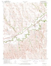
Prairie Dog Creek defines the local topography of this Phillips County region, winding through a valley that serves as the primary corridor for settlement and transit. In the late 1960s, the town of Long Island stands as the central hub, supported by the Chicago Burlington and Quincy railroad line that follows the creek’s natural path. The landscape is heavily marked by agricultural infrastructure, including numerous instances of a Well and specialized Siphon systems likely used for water management in this high plains environment. For those tracing family histories or local heritage, the map identifies specific burial grounds like Vineman Cem and Long Island Cem, alongside industrial features such as the Sandpits near the northern border. Tributaries like Wildcat Creek and Haystack Creek carve through the dissected uplands of the Long Island and Prairie View townships, illustrating a rural economy deeply tied to its water sources.
Find a feature on this map
17 named features on this map. Tap any name to fly to it.
Don’t see what you’re looking for? This feature index may not catch every label — zoom into the map to look around manually.
Map Details
Editions of this 1967 Long Island Map
This is the sole edition of this map. No revisions or reprints were ever made.
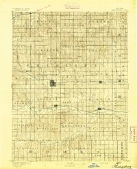
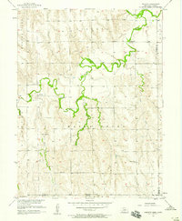
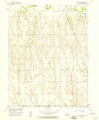
Other maps of this area

1893 · Norton
USGS Topo · 1:125,000
1893 · Phillipsburg
USGS Topo · 1:125,000

1896 · Holdrege
USGS Topo · 1:125,000

1896 · Arapahoe
USGS Topo · 1:125,000

1898 · Arapahoe
USGS Topo · 1:125,000

1955 · Grand Island
USGS Topo · 1:250,000

1955 · Beloit
USGS Topo · 1:250,000

1957 · Grand Island
USGS Topo · 1:250,000
1957 · Precept
USGS Topo · 1:24,000
1957 · Stamford SE
USGS Topo · 1:24,000