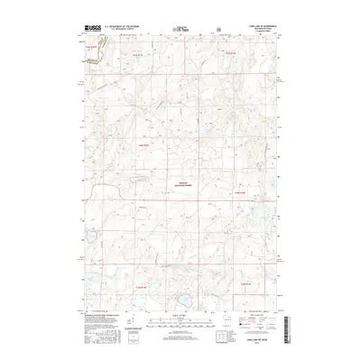
2015 Map of Long Lake NE
USGS Topo · Published 2015About this map
Nicolet National Forest dominates this landscape along the border of Wisconsin and Michigan, where the Brule River defines the state line in the northwest corner. This area in Florence County is a dense network of glacial lakes and waterways, centered on the Pine River which winds through the southern reach. The hydrology of the region is notably complex, with isolated bodies of water like Lake of Dreams, Lauterman Lake, and Porcupine Lake scattered across the township lines.
Find a feature on this map
43 named features on this map. Tap any name to fly to it.
Don’t see what you’re looking for? This feature index may not catch every label — zoom into the map to look around manually.
Map Details
Editions of this 2015 Long Lake NE Map
This is the sole edition of this map. No revisions or reprints were ever made.
Other maps of this area

1898 · Iron River
USGS Topo · 1:62,500

1899 · Crystal Falls
USGS Topo · 1:62,500

1939 · Long Lake
USGS Topo · 1:48,000

1941 · Florence
USGS Topo · 1:48,000

1944 · Iron River
USGS Topo · 1:24,000

1944 · Gaastra
USGS Topo · 1:24,000

1944 · Fortune Lakes
USGS Topo · 1:24,000

1946 · Iron River
USGS Topo · 1:31,680

1946 · Gaastra
USGS Topo · 1:31,680

1946 · Fortune Lakes
USGS Topo · 1:31,680