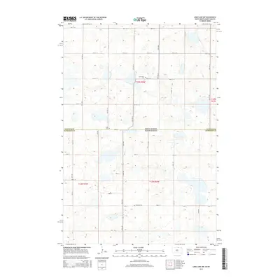
2015 Map of Long Lake NW
USGS Topo · Published 2015About this map
The North Dakota South Dakota state line defines the central axis of this landscape, where the prairie of McIntosh County meets its southern neighbor. This region is characterized by a high density of small wetlands and kettle lakes typical of the glaciated plains, intersected by a rigid section-line road grid including 98th St SE and 350th Ave. For those tracing local history or family roots, the map provides precise locations for several rural burial sites, including Johannasthal Cem, Jewell Cem, and Emmanuel Cem. These small cemeteries serve as the primary landmarks in an otherwise open agricultural terrain, marking the sites of early immigrant communities that settled this border region.
Find a feature on this map
29 named features on this map. Tap any name to fly to it.
Don’t see what you’re looking for? This feature index may not catch every label — zoom into the map to look around manually.
Map Details
Editions of this 2015 Long Lake NW Map
This is the sole edition of this map. No revisions or reprints were ever made.
Other maps of this area

1953 · Jamestown
USGS Topo · 1:250,000

1954 · Aberdeen
USGS Topo · 1:250,000

1956 · Aberdeen
USGS Topo · 1:250,000

1956 · Jamestown
USGS Topo · 1:250,000

1968 · Long Lake
USGS Topo · 1:24,000

1968 · Long Lake SE
USGS Topo · 1:24,000

1968 · Long Lake NW
USGS Topo · 1:24,000

1968 · Long Lake NE
USGS Topo · 1:24,000

1978 · Schumacher Lake
USGS Topo · 1:24,000

1978 · Schumacher Lake NE
USGS Topo · 1:24,000