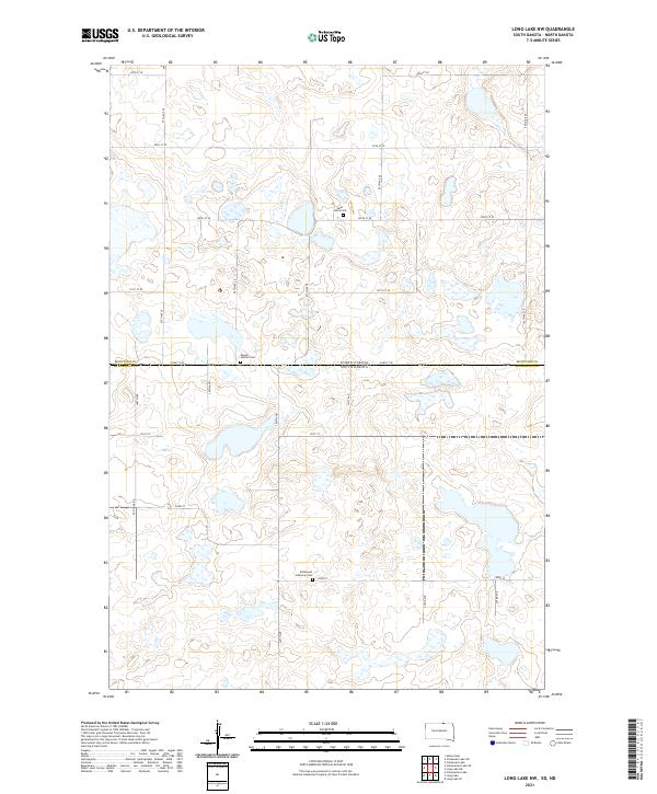
2021 Map of Long Lake NW
USGS Topo · Published 2021About this map
Emmanuel Lutheran Cem and Saint Johns Cem serve as the primary markers of settlement in this northern plains landscape where the border of North Dakota and South Dakota meets. The terrain is defined by a dense network of glacial prairie potholes and small basins, interspersed with a precise grid of rural roads like 350th Ave and 100th St SE. The presence of Jewell Station Cem along the state line suggests a localized community history tied to early transportation corridors. This area, spanning the boundary of McIntosh and McPherson counties, retains a traditional land division pattern, with long-established routes such as the Old Sioux Rd cutting across the survey sections.
Find a feature on this map
30 named features on this map. Tap any name to fly to it.
Don’t see what you’re looking for? This feature index may not catch every label — zoom into the map to look around manually.
Map Details
Editions of this 2021 Long Lake NW Map
This is the sole edition of this map. No revisions or reprints were ever made.
Other maps of this area

1953 · Jamestown
USGS Topo · 1:250,000

1954 · Aberdeen
USGS Topo · 1:250,000

1956 · Aberdeen
USGS Topo · 1:250,000

1956 · Jamestown
USGS Topo · 1:250,000

1968 · Long Lake
USGS Topo · 1:24,000

1968 · Long Lake SE
USGS Topo · 1:24,000

1968 · Long Lake NW
USGS Topo · 1:24,000

1968 · Long Lake NE
USGS Topo · 1:24,000

1978 · Schumacher Lake
USGS Topo · 1:24,000

1978 · Schumacher Lake NE
USGS Topo · 1:24,000