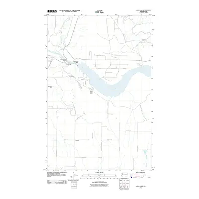
2011 Map of Long Lake
USGS Topo · Published 2011About this map
Long Lake dominates the central landscape of this Lincoln County survey, where the waters of the Spokane River are harnessed by infrastructure including the Wollweber Dam. The terrain is defined by dramatic natural breaks such as Devils Gap and the carved paths of Bishop Canyon and Corkscrew Canyon. Local transportation and utility corridors are clearly visible, anchored by the Long Lake Dam Bridge and a network of rural routes connecting the settlement of Crescent.
Find a feature on this map
46 named features on this map. Tap any name to fly to it.
Don’t see what you’re looking for? This feature index may not catch every label — zoom into the map to look around manually.
Map Details
Editions of this 2011 Long Lake Map
This is the sole edition of this map. No revisions or reprints were ever made.
Other maps of this area

1943 · Medical Lake
USGS Topo · 1:62,500

1944 · Clayton
USGS Topo · 1:62,500

1944 · Wellpinit
USGS Topo · 1:62,500

1945 · Reardan
USGS Topo · 1:62,500

1950 · Clayton
USGS Topo · 1:62,500

1953 · Reardan
USGS Topo · 1:62,500

1953 · Wellpinit
USGS Topo · 1:62,500

1954 · Medical Lake
USGS Topo · 1:62,500

1954 · Deep Creek
USGS Topo · 1:24,000

1955 · Spokane
USGS Topo · 1:250,000