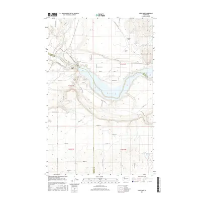
2017 Map of Long Lake
USGS Topo · Published 2017About this map
Long Lake and the winding Spokane River dominate this 2017 landscape at the triple junction of Stevens, Lincoln, and Spokane Counties. The map documents the vital infrastructure crossing these waters, most notably the Long Lake Dam Bridge and Bia Hwy 13 heading north toward Chamokane Cr. The terrain is defined by dramatic elevation shifts, from the depths of Corkscrew Canyon to the narrow passage at Devils Gap. Small-scale aviation is represented by private facilities like Humbert Airport and the colorfully named Tailskid Ranch Airport. While much of the area consists of steep slopes and canyons, the southern portion transitions toward the plateau near Horseshoe Lake, providing a clear view of the road network and property divisions in this part of Washington.
Find a feature on this map
60 named features on this map. Tap any name to fly to it.
Don’t see what you’re looking for? This feature index may not catch every label — zoom into the map to look around manually.
Map Details
Editions of this 2017 Long Lake Map
This is the sole edition of this map. No revisions or reprints were ever made.
Other maps of this area

1943 · Medical Lake
USGS Topo · 1:62,500

1944 · Clayton
USGS Topo · 1:62,500

1944 · Wellpinit
USGS Topo · 1:62,500

1945 · Reardan
USGS Topo · 1:62,500

1950 · Clayton
USGS Topo · 1:62,500

1953 · Reardan
USGS Topo · 1:62,500

1953 · Wellpinit
USGS Topo · 1:62,500

1954 · Medical Lake
USGS Topo · 1:62,500

1954 · Deep Creek
USGS Topo · 1:24,000

1955 · Spokane
USGS Topo · 1:250,000