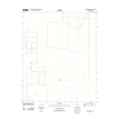
2011 Map of Long Mountain
USGS Topo · Published 2011About this map
Long Mountain serves as the central topographic landmark of this High Desert landscape in western Arizona during the early 21st century. The map reveals a transition from open rangeland to a developing network of residential or ranch roads, particularly on the western side of the quadrangle. Settlements such as Dutton Ranch are situated near vital water sources like Foo Tank and Vock Wash, reflecting the ongoing importance of water management in this arid environment. The road network, characterized by Spanish-influenced street names like N Avenida El Camino, E Calle Lucero, and Calle Bubba, suggests a deliberate parceling of the land for future growth. To the east, the terrain remains less developed, marked by the Hualapai Reservoir and the reaching high ground of Anteras Pt.
Find a feature on this map
18 named features on this map. Tap any name to fly to it.
Don’t see what you’re looking for? This feature index may not catch every label — zoom into the map to look around manually.
Map Details
Editions of this 2011 Long Mountain Map
This is the sole edition of this map. No revisions or reprints were ever made.
Other maps of this area

1886 · Diamond Creek
USGS Topo · 1:250,000

1886 · Camp Mohave
USGS Topo · 1:250,000

1892 · Diamond Creek
USGS Topo · 1:250,000

1892 · Camp Mohave
USGS Topo · 1:250,000

1939 · Chloride
USGS Topo · 1:48,000

1942 · Camp Mohave
USGS Topo · 1:250,000

1944 · Chloride
USGS Topo · 1:62,500

1947 · Kingman
USGS Topo · 1:250,000

1948 · Kingman
USGS Topo · 1:250,000

1948 · Williams
USGS Topo · 1:250,000