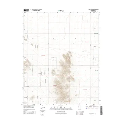
2014 Map of Long Mountain
USGS Topo · Published 2014About this map
Long Mountain rises sharply from the high desert floor, serving as a prominent topographic anchor between the sprawling Hualapai Valley and the residential development of Valle Vista. This 2014 survey captures a landscape of transition where the natural desert drainage of Rock Wash meets an increasingly structured grid of local roads and avenues. The presence of water management features like Hualapai Reservoir and Foo Tank indicates the essential infrastructure required for life in this arid region of Mohave County. A dense network of residential streets, including N Avenida Obregon and Avenida Martin, reflects the expansion of local communities into the flats south of the mountain, while trails such as Mountain Mesa Trl provide access to the more elevated, complex terrain of the central peak.
Find a feature on this map
37 named features on this map. Tap any name to fly to it.
Don’t see what you’re looking for? This feature index may not catch every label — zoom into the map to look around manually.
Map Details
Editions of this 2014 Long Mountain Map
This is the sole edition of this map. No revisions or reprints were ever made.
Other maps of this area

1886 · Diamond Creek
USGS Topo · 1:250,000

1886 · Camp Mohave
USGS Topo · 1:250,000

1892 · Diamond Creek
USGS Topo · 1:250,000

1892 · Camp Mohave
USGS Topo · 1:250,000

1939 · Chloride
USGS Topo · 1:48,000

1942 · Camp Mohave
USGS Topo · 1:250,000

1944 · Chloride
USGS Topo · 1:62,500

1947 · Kingman
USGS Topo · 1:250,000

1948 · Kingman
USGS Topo · 1:250,000

1948 · Williams
USGS Topo · 1:250,000