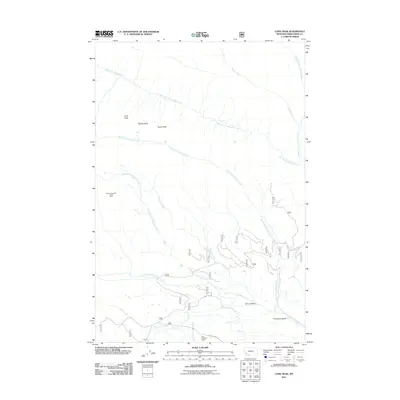
2011 Map of Long Peak
USGS Topo · Published 2011About this map
Long Peak, Needle Peak, and Tower Peak form a trio of high points overlooking a landscape defined by the branching headwaters of the Big Hole River system. This 2011 survey illustrates a region largely shaped by its topography and hydrology, with drainage basins like West Fork La Marche Creek and East Fork Fishtrap Creek carving through the terrain. Human presence is concentrated in the southern portion of the quadrangle, where Calvert Creek Rd provides access to the Jack Paddock Ranch.
Find a feature on this map
31 named features on this map. Tap any name to fly to it.
Don’t see what you’re looking for? This feature index may not catch every label — zoom into the map to look around manually.
Map Details
Editions of this 2011 Long Peak Map
This is the sole edition of this map. No revisions or reprints were ever made.
Other maps of this area

1908 · Philipsburg
USGS Topo · 1:125,000

1947 · Butte
USGS Topo · 1:250,000

1955 · Dillon
USGS Topo · 1:250,000

1957 · Dillon
USGS Topo · 1:250,000

1958 · Butte
USGS Topo · 1:250,000

1958 · Dillon
USGS Topo · 1:250,000

1960 · Butte
USGS Topo · 1:250,000

1962 · Butte
USGS Topo · 1:250,000

1962 · Dillon
USGS Topo · 1:250,000

1962 · Lower Seymour Lake
USGS Topo · 1:24,000