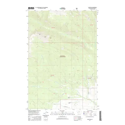
2017 Map of Long Peak
USGS Topo · Published 2017About this map
Beaverhead National Forest encompasses the high-altitude landscape of southwestern Montana on this 2017 survey. The terrain is defined by prominent summits including Long Peak, Needle Peak, and Tower Peak, which dominate the northern half of the quadrangle. Drainage patterns are intricate, with several branches of the La Marche and Fishtrap creeks carving through the mountain slopes.
Find a feature on this map
32 named features on this map. Tap any name to fly to it.
Don’t see what you’re looking for? This feature index may not catch every label — zoom into the map to look around manually.
Map Details
Editions of this 2017 Long Peak Map
This is the sole edition of this map. No revisions or reprints were ever made.
Other maps of this area

1908 · Philipsburg
USGS Topo · 1:125,000

1947 · Butte
USGS Topo · 1:250,000

1955 · Dillon
USGS Topo · 1:250,000

1957 · Dillon
USGS Topo · 1:250,000

1958 · Butte
USGS Topo · 1:250,000

1958 · Dillon
USGS Topo · 1:250,000

1960 · Butte
USGS Topo · 1:250,000

1962 · Butte
USGS Topo · 1:250,000

1962 · Dillon
USGS Topo · 1:250,000

1962 · Lower Seymour Lake
USGS Topo · 1:24,000