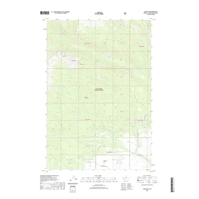
2020 Map of Long Peak
USGS Topo · Published 2020About this map
The Anaconda Range dominates this portion of the Beaverhead National Forest, defined by high-elevation summits and a dense network of mountain streams. High points such as Long Peak, Needle Peak, and Tower Peak provide the primary topography, while the lower elevations are marked by the drainage of Swamp Cr and several forks of the Fishtrap and La Marche systems. In the southern extent, Camp Hollow and Thompson Gulch indicate the transition into more accessible valley terrain, where established routes like Calvert Creek Rd and Fish Trap Rd follow the natural contours of the land. This 2020 survey illustrates a landscape primarily managed for natural resource and forest conservation, where human presence is largely limited to the network of forestry roads and seasonal camps rather than permanent settlements.
Find a feature on this map
24 named features on this map. Tap any name to fly to it.
Don’t see what you’re looking for? This feature index may not catch every label — zoom into the map to look around manually.
Map Details
Editions of this 2020 Long Peak Map
This is the sole edition of this map. No revisions or reprints were ever made.
Other maps of this area

1908 · Philipsburg
USGS Topo · 1:125,000

1947 · Butte
USGS Topo · 1:250,000

1955 · Dillon
USGS Topo · 1:250,000

1957 · Dillon
USGS Topo · 1:250,000

1958 · Butte
USGS Topo · 1:250,000

1958 · Dillon
USGS Topo · 1:250,000

1960 · Butte
USGS Topo · 1:250,000

1962 · Butte
USGS Topo · 1:250,000

1962 · Dillon
USGS Topo · 1:250,000

1962 · Lower Seymour Lake
USGS Topo · 1:24,000