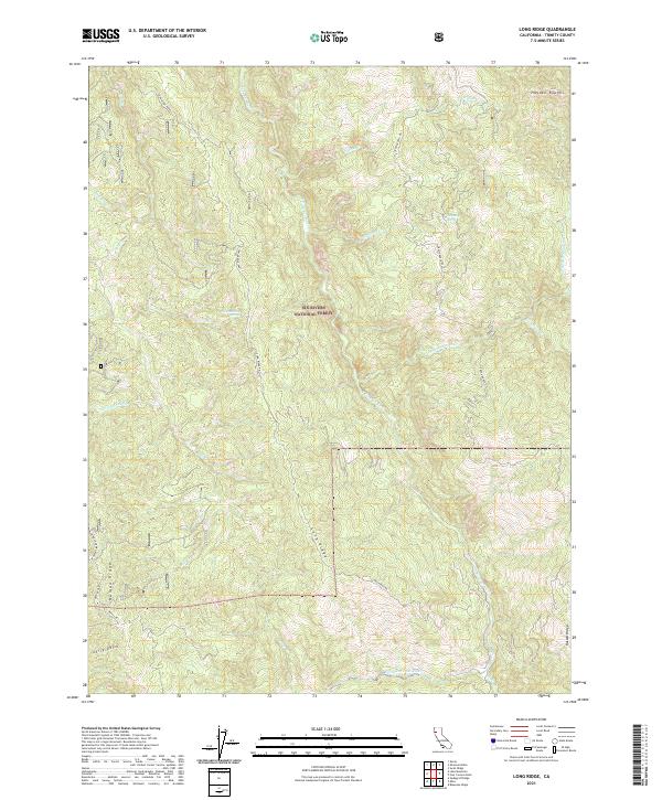
2021 Map of Long Ridge
USGS Topo · Published 2021About this map
Six Rivers National Forest encompasses much of this terrain in Trinity County, where a complex network of ridges and watercourses defines the landscape. The Eel Wild and Scenic River and the North Fork Eel River serve as primary drainage systems, joined by numerous tributaries such as Cottonwood Cr and Willow Cr. Notable landmarks like Schoolhouse Spring and Climbing Spring suggest points of significance for water access in this elevated environment. The topography is anchored by prominent features including Long Ridge, Haman Ridge, and Russell Ridge, which are traversed by essential routes such as Long Ridge Road and Zenia Lake Mtn Road. This survey documents the intersection of protected wilderness areas and the necessary infrastructure for forest management and local access in the modern era.
Find a feature on this map
32 named features on this map. Tap any name to fly to it.
Don’t see what you’re looking for? This feature index may not catch every label — zoom into the map to look around manually.
Map Details
Editions of this 2021 Long Ridge Map
This is the sole edition of this map. No revisions or reprints were ever made.
Other maps of this area

1920 · Covelo
USGS Topo · 1:62,500

1921 · Hoaglin
USGS Topo · 1:62,500

1922 · Island Mountain
USGS Topo · 1:62,500

1926 · Covelo
USGS Topo · 1:62,500

1931 · Hoaglin
USGS Topo · 1:96,000

1935 · Hoaglin
USGS Topo · 1:125,000

1952 · Spyrock
USGS Topo · 1:62,500

1952 · Covelo
USGS Topo · 1:62,500

1953 · Blackrock Mtn
USGS Topo · 1:62,500

1954 · Blackrock Mtn
USGS Topo · 1:62,500