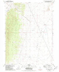
1982 Map of Long Valley Slough
USGS Topo · Published 1982About this map
The high desert terrain of White Pine County defines this 1980s landscape, dominated by the north-south rise of Alligator Ridge and the Maverick Springs Range. Between these formidable uplands and the expansive Long Valley, a network of water sources and resource extraction points reveals the area's utility. Features like Mooney Basin Well, Jesses Well, and Mc Brides Long Valley Well are vital markers for ranchers and travelers in this arid region, while a Prospect and several Gravel Pits indicate localized mining activity.
Find a feature on this map
26 named features on this map. Tap any name to fly to it.
Don’t see what you’re looking for? This feature index may not catch every label — zoom into the map to look around manually.
Map Details
Editions of this 1982 Long Valley Slough Map
This is the sole edition of this map. No revisions or reprints were ever made.
Other maps of this area

1956 · Ely
USGS Topo · 1:250,000

1957 · Buck Mountain
USGS Topo · 1:62,500

1957 · Cold Creek Ranch
USGS Topo · 1:62,500

1959 · Ely
USGS Topo · 1:250,000

1963 · Ely
USGS Topo · 1:250,000
1982 · Junction Well
USGS Topo · 1:24,000
1982 · Cabin Spring
USGS Topo · 1:24,000
1982 · McBrides Sheep Well
USGS Topo · 1:24,000
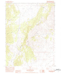
1982 · Tognini Spring
USGS Topo · 1:24,000
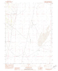
1982 · Sunshine Well NW
USGS Topo · 1:24,000