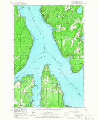
1959 Map of Longbranch
USGS Topo · Published 1966About this map
Longbranch serves as the central hub of this South Puget Sound landscape, situated near the protected waters of Filucy Bay. The 1959 survey reveals a coastal environment defined by maritime activity and small-scale settlement, with inland education anchored by Evergreen Sch and Longbranch Sch. This peninsula-rich geography is shaped by the intersection of Case Inlet, Nisqually Reach, and Dana Passage, where several counties meet in the open water.
Find a feature on this map
51 named features on this map. Tap any name to fly to it.
Don’t see what you’re looking for? This feature index may not catch every label — zoom into the map to look around manually.
Map Details
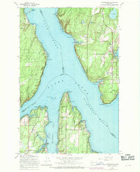
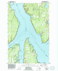
Editions of this 1959 Longbranch Map
3 editions found
Other maps of this area

1937 · Olympia
USGS Topo · 1:62,500

1938 · Allyn
USGS Topo · 1:62,500

1940 · Anderson Island
USGS Topo · 1:62,500

1942 · Gig Harbor
USGS Topo · 1:62,500

1943 · Gig Harbor
USGS Topo · 1:62,500

1948 · Anderson Island
USGS Topo · 1:62,500

1948 · Nisqually
USGS Topo · 1:24,000

1948 · Anderson Island
USGS Topo · 1:24,000

1949 · Olympia
USGS Topo · 1:62,500

1953 · Sylvan
USGS Topo · 1:24,000