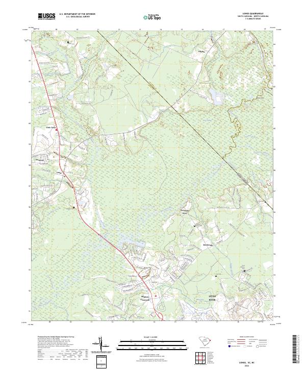
2024 Map of Longs
USGS Topo · Published 2024About this map
The Waccamaw River winds through this coastal plain landscape where the border of South Carolina and North Carolina meets. This modern survey illustrates the rural residential expansion around historic hubs like Longs and Stephens Crossroads, revealing a network of local roads such as Turkey Pen Rd and Deep Branch Rd that cut through the surrounding swamplands. The area is defined by its numerous watercourses, including Cawcaw Swamp, Big Creek, and Indigo Branch, which historically shaped settlement patterns and transit.
Find a feature on this map
134 named features on this map. Tap any name to fly to it.
Don’t see what you’re looking for? This feature index may not catch every label — zoom into the map to look around manually.
Map Details
Editions of this 2024 Longs Map
This is the sole edition of this map. No revisions or reprints were ever made.
Other maps of this area

1937 · Nixonville
USGS Topo · 1:48,000

1942 · Nixonville
USGS Topo · 1:62,500

1943 · Little River
USGS Topo · 1:31,680

1943 · Pireway
USGS Topo · 1:31,680

1943 · Calabash
USGS Topo · 1:31,680

1943 · Wampee
USGS Topo · 1:24,000

1943 · Freeland
USGS Topo · 1:24,000

1944 · Longs
USGS Topo · 1:31,680

1949 · Georgetown
USGS Topo · 1:250,000
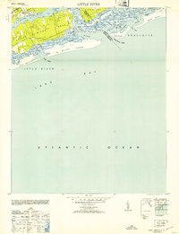
1953 · Little River
USGS Topo · 1:24,000