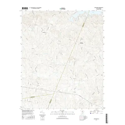
2017 Map of Longtown
USGS Topo · Published 2017About this map
Longtown sits at the heart of this landscape in the late 2010s, serving as a central point for a network of rural roads that cross the borderlands of Fairfield, Kershaw, and Richland Counties. The terrain is defined by a complex watershed system including Sawneys Creek, Thorntree Creek, and Molly Creek, all eventually feeding toward the expansive Wateree Lake visible in the northeast corner. These watercourses have historically dictated the layout of local travel and settlement, with routes like Old Brick Store Rd and Antioch Cemetery Rd following the ridgelines.
Find a feature on this map
82 named features on this map. Tap any name to fly to it.
Don’t see what you’re looking for? This feature index may not catch every label — zoom into the map to look around manually.
Map Details
Editions of this 2017 Longtown Map
This is the sole edition of this map. No revisions or reprints were ever made.
Other maps of this area

1935 · Camden
USGS Topo · 1:48,000

1935 · Killian
USGS Topo · 1:48,000

1937 · Killian
USGS Topo · 1:62,500

1938 · Camden
USGS Topo · 1:62,500

1938 · Hagood
USGS Topo · 1:62,500

1941 · Spartanburg
USGS Topo · 1:250,000

1942 · Camden
USGS Topo · 1:125,000

1953 · Blythewood
USGS Topo · 1:24,000

1953 · Lugoff
USGS Topo · 1:24,000

1953 · Blaney
USGS Topo · 1:24,000