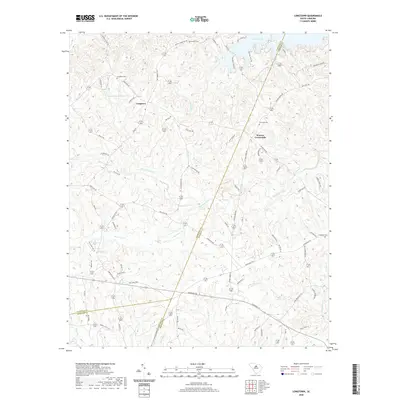
2020 Map of Longtown
USGS Topo · Published 2020About this map
Longtown serves as the central settlement in this portion of Fairfield County, situated amidst a landscape defined by its many creek systems and burial grounds. The geography is marked by the convergence of several county lines, where the boundaries of Fairfield, Kershaw, and Richland counties meet. This area reflects a long-established rural community structure, with ancestral sites like Longtown Cemetery, Antioch Cemetery, and Rock Hill Cemetery scattered along the winding ridge roads.
Find a feature on this map
81 named features on this map. Tap any name to fly to it.
Don’t see what you’re looking for? This feature index may not catch every label — zoom into the map to look around manually.
Map Details
Editions of this 2020 Longtown Map
This is the sole edition of this map. No revisions or reprints were ever made.
Other maps of this area

1935 · Camden
USGS Topo · 1:48,000

1935 · Killian
USGS Topo · 1:48,000

1937 · Killian
USGS Topo · 1:62,500

1938 · Camden
USGS Topo · 1:62,500

1938 · Hagood
USGS Topo · 1:62,500

1941 · Spartanburg
USGS Topo · 1:250,000

1942 · Camden
USGS Topo · 1:125,000

1953 · Blythewood
USGS Topo · 1:24,000

1953 · Lugoff
USGS Topo · 1:24,000

1953 · Blaney
USGS Topo · 1:24,000