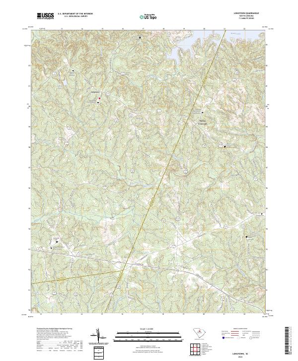
2024 Map of Longtown
USGS Topo · Published 2024About this map
The historic Longtown community serves as a central anchor for this area of Fairfield County, where the landscape is defined by the headwaters of numerous creeks feeding into the Catawba River system. The abundance of burial sites, such as the Longtown Church Graveyard and Mount Olive Church Graveyard, reflects a long-established rural settlement pattern where family and congregational life centered around small, upland ridges. To the northeast, the presence of Wateree Lake introduces a modern recreational dimension to the geography, though the surrounding terrain remains characterized by the intricate drainages of Colonel Creek and Horse Pen Creek.
Find a feature on this map
111 named features on this map. Tap any name to fly to it.
Don’t see what you’re looking for? This feature index may not catch every label — zoom into the map to look around manually.
Map Details
Editions of this 2024 Longtown Map
This is the sole edition of this map. No revisions or reprints were ever made.
Other maps of this area

1935 · Camden
USGS Topo · 1:48,000

1935 · Killian
USGS Topo · 1:48,000

1937 · Killian
USGS Topo · 1:62,500

1938 · Camden
USGS Topo · 1:62,500

1938 · Hagood
USGS Topo · 1:62,500

1941 · Spartanburg
USGS Topo · 1:250,000

1942 · Camden
USGS Topo · 1:125,000

1953 · Blythewood
USGS Topo · 1:24,000

1953 · Lugoff
USGS Topo · 1:24,000

1953 · Blaney
USGS Topo · 1:24,000