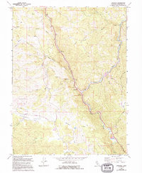
1966 Map of Longvale
USGS Topo · Published 1994About this map
Longvale and Arnold anchor this portion of Mendocino County, where the steep topography of the Coast Range dictates the path of travel and settlement. The landscape is defined by the convergence of Long Valley Creek and Outlet Creek, which create narrow corridors for transport through the ridges. To the west, the Sherwood Valley Rancheria and the Sherwood Sch represent the historical focal points of the Sherwood Valley community, supported by the Sherwood Cemetery. The map captures a moment in the mid-1960s with updates through the early 1990s, showing the early infrastructure of the Redwood Highway corridor, including the Irvine Rest Area and Moss Cove Rest Area. Notable landmarks such as Sam Watt Rock and the high elevation of Shimmin Ridge frame the drainage basins of Dutch Henry Creek and Cherry Creek.
Find a feature on this map
28 named features on this map. Tap any name to fly to it.
Don’t see what you’re looking for? This feature index may not catch every label — zoom into the map to look around manually.
Map Details
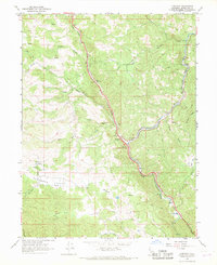
Editions of this 1966 Longvale Map
2 editions found
Other maps of this area

1920 · Glenblair
USGS Topo · 1:62,500

1921 · Branscomb
USGS Topo · 1:62,500

1922 · Willits
USGS Topo · 1:62,500

1942 · Willits
USGS Topo · 1:62,500

1943 · Glenblair
USGS Topo · 1:62,500

1944 · Willits
USGS Topo · 1:62,500

1951 · Branscomb
USGS Topo · 1:62,500

1951 · Laytonville
USGS Topo · 1:62,500

1957 · Ukiah
USGS Topo · 1:250,000

1960 · Ukiah
USGS Topo · 1:250,000