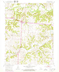
1953 Map of Longwood
USGS Topo · Published 1979About this map
Salt Fork River and the Blackwater River converge in this section of mid-Missouri, where the landscape is defined by the winding paths of Finney Creek, Buck Branch, and Heaths Creek. The settlement patterns recorded here in the mid-1950s show a traditional rural structure, anchored by the community of Longwood and the strategic highway crossroads at Marshall Junction.
Find a feature on this map
22 named features on this map. Tap any name to fly to it.
Don’t see what you’re looking for? This feature index may not catch every label — zoom into the map to look around manually.
Map Details
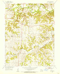
Editions of this 1953 Longwood Map
2 editions found
Other maps of this area

1887 · Sedalia
USGS Topo · 1:125,000

1890 · Marshall
USGS Topo · 1:125,000

1892 · Marshall
USGS Topo · 1:125,000

1894 · Sedalia
USGS Topo · 1:125,000

1901 · Marshall
USGS Topo · 1:125,000

1939 · Sweet Springs
USGS Topo · 1:62,500

1940 · Sweet Springs
USGS Topo · 1:62,500

1940 · Marshall
USGS Topo · 1:62,500

1941 · Sweet Springs
USGS Topo · 1:62,500

1944 · Marshall
USGS Topo · 1:62,500