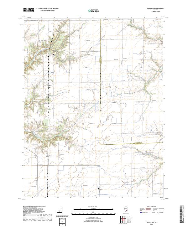
2024 Map of Loogootee
USGS Topo · Published 2024About this map
Loogootee and Saint James serve as the primary hubs in this section of Fayette County, where the landscape is defined by the winding paths of several watercourses. The drainage of Little Hickory Creek and Dismal Creek creates a intricate pattern across the agricultural terrain, while smaller tributaries like Walnut Creek and Hickory Creek carve through the northern sections.
Find a feature on this map
57 named features on this map. Tap any name to fly to it.
Don’t see what you’re looking for? This feature index may not catch every label — zoom into the map to look around manually.
Map Details
Editions of this 2024 Loogootee Map
This is the sole edition of this map. No revisions or reprints were ever made.
Other maps of this area

1941 · St. Elmo
USGS Topo · 1:62,500

1945 · St. Elmo
USGS Topo · 1:62,500

1945 · Kinmundy
USGS Topo · 1:62,500

1947 · Kinmundy
USGS Topo · 1:62,500

1950 · Effingham
USGS Topo · 1:62,500

1951 · Effingham
USGS Topo · 1:62,500

1956 · Edgewood
USGS Topo · 1:62,500

1958 · Decatur
USGS Topo · 1:250,000

1958 · Belleville
USGS Topo · 1:250,000

1961 · Decatur
USGS Topo · 1:250,000