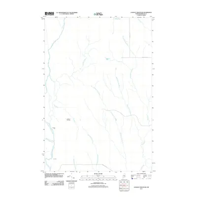
2011 Map of Lookout Mountain
USGS Topo · Published 2011About this map
The East Branch Penobscot River and Seboeis River converge in this northern Maine landscape, defining a region where water and timber long dictated human presence. The terrain is dominated by Lookout Mountain and a complex network of tributaries including Wassataquoik Stream and the various branches of Swift Brook. This area represents a classic Maine woods setting where formal settlements are replaced by established sites such as Hunt Farm and Lunksoos Camp.
Find a feature on this map
20 named features on this map. Tap any name to fly to it.
Don’t see what you’re looking for? This feature index may not catch every label — zoom into the map to look around manually.
Map Details
Editions of this 2011 Lookout Mountain Map
This is the sole edition of this map. No revisions or reprints were ever made.
Other maps of this area

1940 · Island Falls
USGS Topo · 1:62,500

1940 · Sherman
USGS Topo · 1:62,500

1942 · Island Falls
USGS Topo · 1:62,500

1942 · Sherman
USGS Topo · 1:62,500

1953 · Stacyville
USGS Topo · 1:62,500

1954 · Shin Pond
USGS Topo · 1:62,500

1954 · Presque Isle
USGS Topo · 1:250,000

1954 · Millinocket
USGS Topo · 1:250,000

1958 · Presque Isle
USGS Topo · 1:250,000

1958 · Millinocket
USGS Topo · 1:250,000