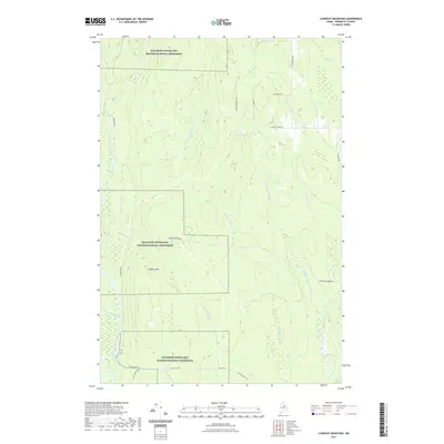
2021 Map of Lookout Mountain
USGS Topo · Published 2021About this map
Katahdin Woods and Waters National Monument dominates this northern Maine landscape, protecting a vast area of forests and waterways centered around Lookout Mtn. The terrain is defined by a dense network of hydrologic features, including the East Branch Penobscot River and the winding Seboeis River, which join other significant drainages like the Wassataquoik Stream. This area's heritage as a timber-producing region is evidenced by the prominent Sherman Lumber Rd cutting through the forest, connecting the wilderness to the settlement of Stacyville in the south. Interior access is limited to a few named routes such as Lunksoos Rd and Happy Corner Rd, which navigate the space between several remote water bodies including Potter Pond and Wiley Pond. The map captures a moment in the modern management of these traditional North Woods lands.
Find a feature on this map
28 named features on this map. Tap any name to fly to it.
Don’t see what you’re looking for? This feature index may not catch every label — zoom into the map to look around manually.
Map Details
Editions of this 2021 Lookout Mountain Map
This is the sole edition of this map. No revisions or reprints were ever made.
Other maps of this area

1940 · Island Falls
USGS Topo · 1:62,500

1940 · Sherman
USGS Topo · 1:62,500

1942 · Island Falls
USGS Topo · 1:62,500

1942 · Sherman
USGS Topo · 1:62,500

1953 · Stacyville
USGS Topo · 1:62,500

1954 · Shin Pond
USGS Topo · 1:62,500

1954 · Presque Isle
USGS Topo · 1:250,000

1954 · Millinocket
USGS Topo · 1:250,000

1958 · Presque Isle
USGS Topo · 1:250,000

1958 · Millinocket
USGS Topo · 1:250,000