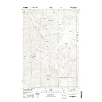
2014 Map of Lookout Mountain
USGS Topo · Published 2014About this map
Gifford Pinchot National Forest dominates this topographic study, revealing a landscape defined by volcanic peaks and the intricate drainage of the Washougal River and Trout Cr. The terrain is punctuated by high-elevation landmarks such as West Crater and Mowich Butte, while the Pacific Crest National Scenic Trail traverses the southern half of the quadrangle. Historic fire observation points are evident at Lookout Mountain Lookout and the Mowich Butte Lookout, signaling the area's long-standing importance for forest management and fire detection.
Find a feature on this map
48 named features on this map. Tap any name to fly to it.
Don’t see what you’re looking for? This feature index may not catch every label — zoom into the map to look around manually.
Map Details
Editions of this 2014 Lookout Mountain Map
This is the sole edition of this map. No revisions or reprints were ever made.
Other maps of this area

1926 · Hood River
USGS Topo · 1:125,000

1929 · Hood River
USGS Topo · 1:125,000

1940 · Lookout Mtn
USGS Topo · 1:62,500

1948 · Vancouver
USGS Topo · 1:250,000

1950 · Vancouver
USGS Topo · 1:250,000

1950 · Vancouver
USGS Topo · 1:250,000

1953 · Lookout Mtn
USGS Topo · 1:62,500

1953 · The Dalles
USGS Topo · 1:250,000

1954 · Bridal Veil
USGS Topo · 1:62,500

1956 · The Dalles
USGS Topo · 1:250,000