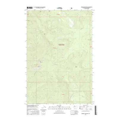
2017 Map of Lookout Mountain
USGS Topo · Published 2017About this map
Gifford Pinchot National Forest dominates this section of the Cascade Range, defined by its complex volcanic geography and dense drainage network. The landscape is punctuated by prominent peaks including Lookout Mtn, West Crater, and Mowich Butte, while the Pacific Crest National Scenic Trail winds through the southeastern portion near Rock Cr Lake. Water systems are central to this area, with the E Fork Lewis River and the headwaters of the Washougal River carving through the terrain. The map also reveals the localized alpine features of Zig Zag Lake and Twin Rocks. Access throughout the forest is illustrated via a network of service roads such as the Sunset Hemlock Rd and Nat For Dev Rd 41, which support the regional timber and recreation economy managed by the U.S. Forest Service.
Find a feature on this map
52 named features on this map. Tap any name to fly to it.
Don’t see what you’re looking for? This feature index may not catch every label — zoom into the map to look around manually.
Map Details
Editions of this 2017 Lookout Mountain Map
This is the sole edition of this map. No revisions or reprints were ever made.
Other maps of this area

1926 · Hood River
USGS Topo · 1:125,000

1929 · Hood River
USGS Topo · 1:125,000

1940 · Lookout Mtn
USGS Topo · 1:62,500

1948 · Vancouver
USGS Topo · 1:250,000

1950 · Vancouver
USGS Topo · 1:250,000

1950 · Vancouver
USGS Topo · 1:250,000

1953 · Lookout Mtn
USGS Topo · 1:62,500

1953 · The Dalles
USGS Topo · 1:250,000

1954 · Bridal Veil
USGS Topo · 1:62,500

1956 · The Dalles
USGS Topo · 1:250,000