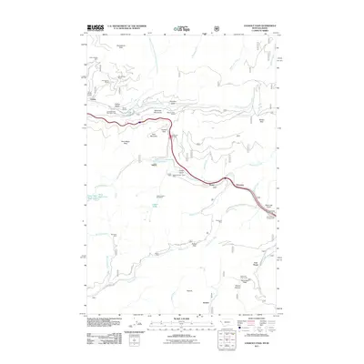
2011 Map of Lookout Pass
USGS Topo · Published 2011About this map
Bitterroot Mountains geology and transit history define this rugged borderland between Montana and Idaho. The map documents a landscape heavily influenced by both the mineral industry and the evolution of mountain passage. Mining operations are scattered across the peaks and gulches, including the Snowstorm Mines near Snowstorm Peak and the Bullion Mine south of Bullion Pass. This area has long served as a critical corridor through the Bitterroots, evidenced by the proximity of Mullan Pass and Saint Regis Pass.
Find a feature on this map
58 named features on this map. Tap any name to fly to it.
Don’t see what you’re looking for? This feature index may not catch every label — zoom into the map to look around manually.
Map Details
Editions of this 2011 Lookout Pass Map
This is the sole edition of this map. No revisions or reprints were ever made.
Other maps of this area

1901 · Coeur D'Alene District
USGS Topo · 1:62,500

1903 · Coeur D'Alene District
USGS Topo · 1:62,500

1906 · Coeur D'Alene District
USGS Topo · 1:62,500

1914 · Avery
USGS Topo · 1:125,000

1917 · Avery
USGS Topo · 1:125,000

1932 · Trout Creek
USGS Topo · 1:125,000

1935 · Trout Creek
USGS Topo · 1:125,000

1936 · Trout Creek
USGS Topo · 1:125,000

1956 · Cooper Gulch
USGS Topo · 1:62,500

1956 · Saltese
USGS Topo · 1:62,500