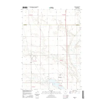
2015 Map of Loomis
USGS Topo · Published 2015About this map
Mitchell's northern outskirts and the small settlement of Loomis anchor this topographic survey of the South Dakota plains. The landscape is defined by the winding course of the James River and the engineered waters of Lake Mitchell, which is fed by Firesteel Creek. The map documents a classic Midwestern section-line road grid, with routes like 244th St and Airport Rd providing structure to the agricultural and municipal landscape. Modern infrastructure is evident in the layout of the Mitchell Municipal Airport and the surrounding industrial corridors, while the natural drainage patterns of Dry Run bisect the rolling terrain. This record provides a clear view of the intersection between the growing city, its essential water resources, and the rural townships of Sanborn and Davison counties.
Find a feature on this map
32 named features on this map. Tap any name to fly to it.
Don’t see what you’re looking for? This feature index may not catch every label — zoom into the map to look around manually.
Map Details
Editions of this 2015 Loomis Map
This is the sole edition of this map. No revisions or reprints were ever made.
Other maps of this area

1899 · Mitchell
USGS Topo · 1:125,000

1899 · Alexandria
USGS Topo · 1:125,000

1955 · Sioux Falls
USGS Topo · 1:250,000

1955 · Mitchell
USGS Topo · 1:250,000

1957 · Farwell NW
USGS Topo · 1:24,000

1957 · Loomis
USGS Topo · 1:24,000

1957 · Riverside
USGS Topo · 1:24,000

1957 · Letcher NE
USGS Topo · 1:24,000

1957 · Farwell
USGS Topo · 1:24,000

1957 · Mitchell
USGS Topo · 1:24,000