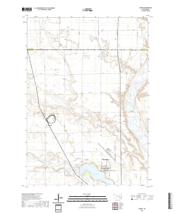
2021 Map of Loomis
USGS Topo · Published 2021About this map
Loomis and the northern outskirts of Mitchell occupy this landscape at the intersection of rural township lines and emerging municipal development. The terrain is defined by the winding course of the James River, which cuts through the eastern half of the quadrangle, and the expansive waters of Lake Mitchell to the south. The rural character of the region is etched into the landscape through a rigid grid of section roads like Old Mile Rd and Piano Rd, which negotiate the undulating land between Dry Run and Firesteel Creek. The map captures a moment of transition where the northern reach of Davison County meets Sanborn County, showing the established small-town layout of Loomis alongside modern infrastructure like the Mitchell Municipal Airport. This record of the South Dakota prairie highlights how local hydrology and road networks have shaped the placement of farms and industry outside the larger hub of Mitchell.
Find a feature on this map
44 named features on this map. Tap any name to fly to it.
Don’t see what you’re looking for? This feature index may not catch every label — zoom into the map to look around manually.
Map Details
Editions of this 2021 Loomis Map
This is the sole edition of this map. No revisions or reprints were ever made.
Other maps of this area

1899 · Mitchell
USGS Topo · 1:125,000

1899 · Alexandria
USGS Topo · 1:125,000

1955 · Sioux Falls
USGS Topo · 1:250,000

1955 · Mitchell
USGS Topo · 1:250,000

1957 · Farwell NW
USGS Topo · 1:24,000

1957 · Loomis
USGS Topo · 1:24,000

1957 · Riverside
USGS Topo · 1:24,000

1957 · Letcher NE
USGS Topo · 1:24,000

1957 · Farwell
USGS Topo · 1:24,000

1957 · Mitchell
USGS Topo · 1:24,000