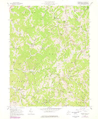
1957 Map of Looneyville
USGS Topo · Published 1977About this map
The Pocatalico River and its myriad tributaries carve through the central West Virginia hills, anchoring a landscape defined by small valley settlements and an extensive network of natural gas extraction. The community of Looneyville sits at the heart of the quadrangle, surrounded by ridge-and-hollow topography that shaped local social life around small family cemeteries and country churches. Numerous spiritual centers like Hundley Chapel, Epling Chapel, and Walnut Grove Ch are distributed throughout the terrain, often appearing alongside family landmarks such as the Looney Cem or Stalnaker Sch.
Find a feature on this map
103 named features on this map. Tap any name to fly to it.
Don’t see what you’re looking for? This feature index may not catch every label — zoom into the map to look around manually.
Map Details
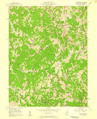
Editions of this 1957 Looneyville Map
2 editions found
Other maps of this area

1906 · Otter
USGS Topo · 1:62,500

1906 · Walton
USGS Topo · 1:62,500

1907 · Otter
USGS Topo · 1:62,500

1907 · Arnoldsburg
USGS Topo · 1:62,500

1907 · Spencer
USGS Topo · 1:62,500

1907 · Walton
USGS Topo · 1:62,500

1925 · Arnoldsburg
USGS Topo · 1:62,500

1927 · Arnoldsburg
USGS Topo · 1:62,500

1928 · Spencer
USGS Topo · 1:62,500

1954 · Charleston
USGS Topo · 1:250,000