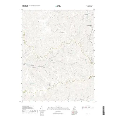
2019 Map of Lorado
USGS Topo · Published 2019About this map
The deep valleys of the Logan County coalfields are the primary focus of this modern topographic study, where the settlement of Lorado sits at the confluence of several mountain streams. The community is part of a string of residential and industrial pockets along Buffalo Creek, including Lundale, Craneco, and Saunders. These towns are tightly constrained by the steep elevation of Buffalo Mtn and Spring Mtn, reflecting the classic Appalachian settlement pattern where development follows the narrow creek bottoms.
Find a feature on this map
63 named features on this map. Tap any name to fly to it.
Don’t see what you’re looking for? This feature index may not catch every label — zoom into the map to look around manually.
Map Details
Editions of this 2019 Lorado Map
This is the sole edition of this map. No revisions or reprints were ever made.
Other maps of this area

1891 · Oceana
USGS Topo · 1:125,000

1893 · Oceana
USGS Topo · 1:125,000

1898 · Oceana
USGS Topo · 1:125,000

1909 · Gilbert
USGS Topo · 1:48,000

1910 · Pineville
USGS Topo · 1:48,000

1910 · Bald Knob
USGS Topo · 1:48,000

1912 · Bald Knob
USGS Topo · 1:62,500

1912 · Gilbert
USGS Topo · 1:62,500

1912 · Pineville
USGS Topo · 1:62,500

1913 · Logan
USGS Topo · 1:62,500