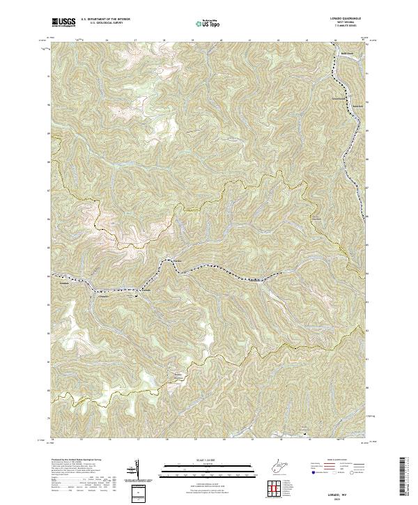
2023 Map of Lorado
USGS Topo · Published 2023About this map
Buffalo Creek winds through a landscape defined by the intersection of Boone, Logan, and Wyoming counties, anchoring a sequence of coal-country settlements including Lorado, Lundale, Craneco, and Saunders. The terrain is characterized by intricate drainage networks, with numerous hollows and branches like Elsie Hollow and Meredith Branch feeding into the main valley. This 2023 survey demonstrates how local road systems, such as Buffalo Creek Rd and Huff Creek Rd, follow these natural contours to connect the disparate residential pockets.
Find a feature on this map
64 named features on this map. Tap any name to fly to it.
Don’t see what you’re looking for? This feature index may not catch every label — zoom into the map to look around manually.
Map Details
Editions of this 2023 Lorado Map
This is the sole edition of this map. No revisions or reprints were ever made.
Other maps of this area

1891 · Oceana
USGS Topo · 1:125,000

1893 · Oceana
USGS Topo · 1:125,000

1898 · Oceana
USGS Topo · 1:125,000

1909 · Gilbert
USGS Topo · 1:48,000

1910 · Pineville
USGS Topo · 1:48,000

1910 · Bald Knob
USGS Topo · 1:48,000

1912 · Bald Knob
USGS Topo · 1:62,500

1912 · Gilbert
USGS Topo · 1:62,500

1912 · Pineville
USGS Topo · 1:62,500

1913 · Logan
USGS Topo · 1:62,500