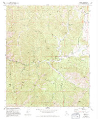
1972 Map of Loraine
USGS Topo · Published 1994About this map
Loraine stands as the central hub of this high-desert canyon landscape, situated along the winding course of Caliente Creek. The area is defined by a dense concentration of mining history, with numerous operations including the Barbarossa Mines and Zenda Mine scattered across the ridges. The settlement pattern follows the precarious geography of the canyons, with small outposts like Millersville and Twin Oaks serving as nodes between the high peaks and the water-carved valleys.
Find a feature on this map
51 named features on this map. Tap any name to fly to it.
Don’t see what you’re looking for? This feature index may not catch every label — zoom into the map to look around manually.
Map Details
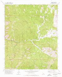
Editions of this 1972 Loraine Map
2 editions found
Other maps of this area

1914 · Caliente
USGS Topo · 1:125,000

1915 · Mojave
USGS Topo · 1:125,000

1943 · Tehachapi
USGS Topo · 1:62,500

1943 · Emerald Mtn
USGS Topo · 1:62,500

1943 · Cummings Mountain
USGS Topo · 1:62,500

1943 · Breckenridge Mountain
USGS Topo · 1:62,500

1948 · Bakersfield
USGS Topo · 1:250,000

1955 · Bakersfield
USGS Topo · 1:250,000

1956 · Bakersfield
USGS Topo · 1:250,000

1960 · Bakersfield
USGS Topo · 1:250,000