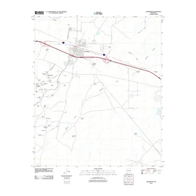
2010 Map of Lordsburg
USGS Topo · Published 2010About this map
The high desert landscape of Lordsburg is defined by its deep mining roots and transportation corridors. This modern survey captures the city's relationship with its historic mining districts, particularly to the south and west where numerous claims and lode mines are recorded. The area around the settlement of Shakespeare is notably dense with history, featuring the Shakespeare Cemetery and a concentration of old mining sites including the Yellow Jacket and General Jerry Boyle. Further south, the map details the Valedon Mine and the Metropolis Group, illustrating the expansive nature of mineral extraction in this part of New Mexico. The terrain is marked by prominent landforms such as Wildcat Hill and Atwood Hill, while drainage is provided by the Shakespeare Arroyo and Mudhole. Local infrastructure remains anchored by the Lordsburg Post Office and the Lordsburg Municipal Airport, serving as a hub between the historic mining camps of Valedon and Aberdeen.
Find a feature on this map
53 named features on this map. Tap any name to fly to it.
Don’t see what you’re looking for? This feature index may not catch every label — zoom into the map to look around manually.
Map Details
Editions of this 2010 Lordsburg Map
This is the sole edition of this map. No revisions or reprints were ever made.
Other maps of this area

1954 · Silver City
USGS Topo · 1:250,000

1958 · Silver City
USGS Topo · 1:250,000

1962 · Silver City
USGS Topo · 1:250,000

1962 · Lisbon
USGS Topo · 1:24,000

1963 · Lordsburg
USGS Topo · 1:24,000

1963 · Gold Hill
USGS Topo · 1:24,000

1963 · Culberson Ranch
USGS Topo · 1:24,000

1964 · Muir Ranch
USGS Topo · 1:24,000

1964 · Pyramid Peak
USGS Topo · 1:24,000

1964 · Gary
USGS Topo · 1:24,000