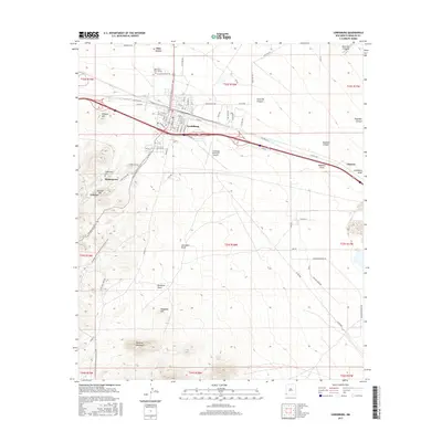
2017 Map of Lordsburg
USGS Topo · Published 2017About this map
Lordsburg serves as the central hub of this high-desert corridor, positioned along major transit routes that bisect the arid landscape. The settlement of Glen Acres lies to the north, while the historical site of Shakespeare sits to the southwest, accompanied by the Shakespeare Cem and proximity to Valedon. The terrain is defined by the northern reaches of the Pyramid Mountains, including landmarks like Wildcat Hill and Atwood Hill, which overlook various drainages such as Aberdeen Draw and Bluebird Draw. The Continental Divide National Scenic Trail weaves through the region, crossing the paths of long-standing infrastructure like Power Plant Rd and the Lordsburg Municipal Airport. Tracing these features reveals the logistical importance of this passage through Hidalgo County, where water features like Mudhole Draw and Lordsburg Draw suggest the ephemeral nature of the local environment.
Find a feature on this map
73 named features on this map. Tap any name to fly to it.
Don’t see what you’re looking for? This feature index may not catch every label — zoom into the map to look around manually.
Map Details
Editions of this 2017 Lordsburg Map
This is the sole edition of this map. No revisions or reprints were ever made.
Other maps of this area

1954 · Silver City
USGS Topo · 1:250,000

1958 · Silver City
USGS Topo · 1:250,000

1962 · Silver City
USGS Topo · 1:250,000

1962 · Lisbon
USGS Topo · 1:24,000

1963 · Lordsburg
USGS Topo · 1:24,000

1963 · Gold Hill
USGS Topo · 1:24,000

1963 · Culberson Ranch
USGS Topo · 1:24,000

1964 · Muir Ranch
USGS Topo · 1:24,000

1964 · Pyramid Peak
USGS Topo · 1:24,000

1964 · Gary
USGS Topo · 1:24,000