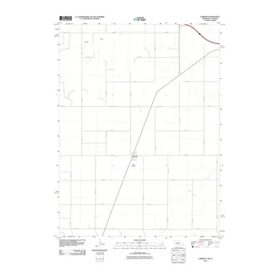
2010 Map of Lorenzo
USGS Topo · Published 2010About this map
Lorenzo anchors this portion of Cheyenne County, situated at a transition point where the high plains are carved by intermittent watercourses. The local landscape is defined by the ephemeral drainage of Sidney Draw in the north and the winding path of Cow Creek to the south. This survey illustrates a strictly organized agricultural grid, with numbered routes like Road 10 and Road 103 dividing the terrain into uniform sections. Near the town center, Phelps Airport serves as a notable landmark, highlighting the region's reliance on aviation for connectivity across the expansive Nebraska-Colorado borderlands. The map provides a clear look at the rural infrastructure and settlement patterns of the early 21st century before modern development further altered the high plains footprint.
Find a feature on this map
20 named features on this map. Tap any name to fly to it.
Don’t see what you’re looking for? This feature index may not catch every label — zoom into the map to look around manually.
Map Details
Editions of this 2010 Lorenzo Map
This is the sole edition of this map. No revisions or reprints were ever made.
Other maps of this area

1899 · Sidney
USGS Topo · 1:125,000

1951 · Padroni NW
USGS Topo · 1:24,000

1953 · Peetz
USGS Topo · 1:24,000

1953 · Haystack Butte
USGS Topo · 1:24,000

1954 · Sterling
USGS Topo · 1:250,000

1954 · Scottsbluff
USGS Topo · 1:250,000

1958 · Scottsbluff
USGS Topo · 1:250,000

1958 · Sterling
USGS Topo · 1:250,000

1972 · Easterly Airport
USGS Topo · 1:24,000

1972 · Lorenzo
USGS Topo · 1:24,000