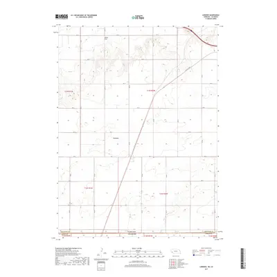
2017 Map of Lorenzo
USGS Topo · Published 2017About this map
Lorenzo sits at the heart of this high plains landscape, situated just north of the border where Nebraska meets Colorado. The topography is defined by the broad path of Sidney Draw in the north and the seasonal drainage of Cow Cr to the south. This area, spanning the line between Cheyenne County and Logan County, is partitioned by a strictly maintained grid of rural roads, including RD 18 and RD 2, which facilitate the agricultural life of the region. A notable diagonal exception to this grid is the Old Post Rd, a route that cuts across the township lines of t13n r50w and t13n r51w, following a historical path of travel that predates the modern section-line road system.
Find a feature on this map
21 named features on this map. Tap any name to fly to it.
Don’t see what you’re looking for? This feature index may not catch every label — zoom into the map to look around manually.
Map Details
Editions of this 2017 Lorenzo Map
This is the sole edition of this map. No revisions or reprints were ever made.
Other maps of this area

1899 · Sidney
USGS Topo · 1:125,000

1951 · Padroni NW
USGS Topo · 1:24,000

1953 · Peetz
USGS Topo · 1:24,000

1953 · Haystack Butte
USGS Topo · 1:24,000

1954 · Sterling
USGS Topo · 1:250,000

1954 · Scottsbluff
USGS Topo · 1:250,000

1958 · Scottsbluff
USGS Topo · 1:250,000

1958 · Sterling
USGS Topo · 1:250,000

1972 · Easterly Airport
USGS Topo · 1:24,000

1972 · Lorenzo
USGS Topo · 1:24,000