Loading...
Loading map...2024 Map of Loris
USGS Topo · Published 2024About this map
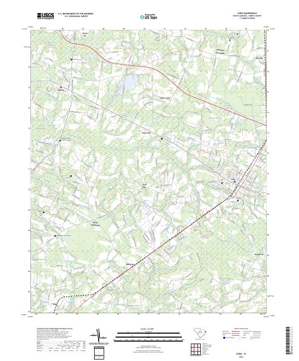
The town of Loris serves as the primary hub in this corner of Horry County, where the landscape is defined by an intricate network of swamps and branches. Moving away from the central settlement, the terrain transitions into a mosaic of named wetlands like Playcard Swamp, Mitchell Swamp, and Pleasant Meadow Swamp. These water features dictated the placement of small agricultural communities and family crossroads that have persisted through generations.
Find a feature on this map
210 named features on this map. Tap any name to fly to it.
Don’t see what you’re looking for? This feature index may not catch every label — zoom into the map to look around manually.
Map Details
Date Portrayed2024
Date Published2024
PublisherU.S. Geological Survey
Map TypeTopographic
Scale1:24000
Physical Dimensions24 x 29 inches
Editions of this 2024 Loris Map
This is the sole edition of this map. No revisions or reprints were ever made.
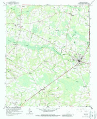
Historical Maps of Jernigans Crossroads Through Time
Featured Locations
Source Details
SourceU.S. Geological Survey
CopyrightPublic Domain