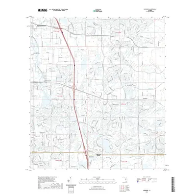
2021 Map of Lorraine
USGS Topo · Published 2021About this map
The Braden River carves a winding path through this portion of eastern Manatee County, serving as a central geographic anchor for the evolving suburban and semi-rural landscapes near Bradenton. The map documenting this area in 2021 reflects a significant transition from the traditional rural character of Lorraine to the large-scale planned residential and educational developments of Lakewood Ranch. Higher education and specialized training are represented by the Keiser University Sarasota Campus and the Manatee Technical College Main Campus, illustrating the northward expansion of the regional infrastructure into formerly agricultural or undeveloped land.
Find a feature on this map
26 named features on this map. Tap any name to fly to it.
Don’t see what you’re looking for? This feature index may not catch every label — zoom into the map to look around manually.
Map Details
Editions of this 2021 Lorraine Map
This is the sole edition of this map. No revisions or reprints were ever made.
Other maps of this area

1921 · Fort De Soto
USGS Topo · 1:62,500

1944 · Sarasota
USGS Topo · 1:31,680

1944 · Rye
USGS Topo · 1:31,680

1944 · Verna
USGS Topo · 1:31,680

1944 · Lorraine
USGS Topo · 1:31,680

1944 · Ellenton
USGS Topo · 1:31,680

1944 · Parish
USGS Topo · 1:31,680

1944 · Miakka
USGS Topo · 1:31,680

1947 · Bradenton
USGS Topo · 1:24,000

1947 · Bee Ridge
USGS Topo · 1:24,000