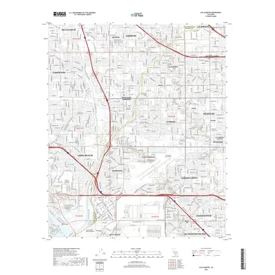
2018 Map of Los Alamitos
USGS Topo · Published 2018About this map
Los Alamitos and its neighboring communities in the Los Angeles-Orange County borderlands are defined by a dense suburban grid and critical infrastructure. The Los Alamitos Army Airfield stands at the heart of this landscape, surrounded by residential developments like Rossmoor and Barber City. The San Gabriel River and its accompanying San Gabriel River Trail provide a rare corridor of open space through the urban expanse, connecting Lakewood and Long Beach toward the coast at Alamitos Bay. Institutional landmarks such as California State Univ Long Beach, Cypress College, and Forest Lawn Memorial Park - Cypress serve as major anchors for these established neighborhoods. The map captures the complex water management system of the region, featuring several concrete channels like the Stanton Storm Channel and the Los Alamitos Retarding Basin, highlighting the engineering required to manage the coastal plain.
Find a feature on this map
49 named features on this map. Tap any name to fly to it.
Don’t see what you’re looking for? This feature index may not catch every label — zoom into the map to look around manually.
Map Details
Editions of this 2018 Los Alamitos Map
This is the sole edition of this map. No revisions or reprints were ever made.
Other maps of this area

1896 · Santa Ana
USGS Topo · 1:62,500

1896 · Anaheim
USGS Topo · 1:62,500

1896 · Las Bolsas
USGS Topo · 1:62,500

1896 · Downey
USGS Topo · 1:62,500

1898 · Anaheim
USGS Topo · 1:62,500

1899 · Downey
USGS Topo · 1:62,500

1901 · Southern California Sheet No. 1
USGS Topo · 1:250,000

1901 · Santa Ana
USGS Topo · 1:62,500

1901 · Anaheim
USGS Topo · 1:62,500

1902 · Downey
USGS Topo · 1:62,500