
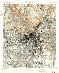
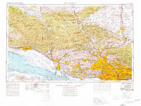
1966 Map of Los Angeles
USGS Topo · Published 1966About this map
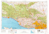
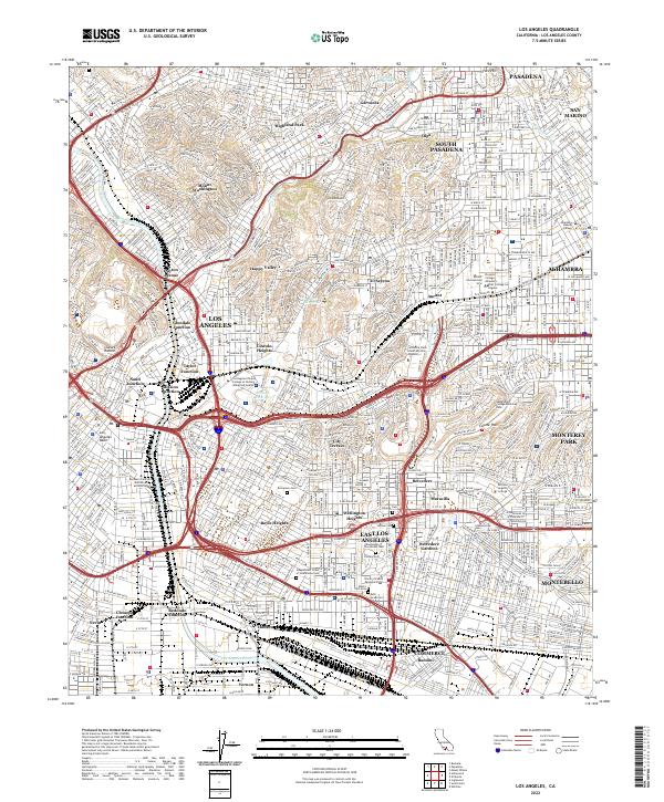
Los Angeles and the surrounding coastal plains and mountain ranges appear here during a period of massive suburban expansion and military infrastructure development. The map details the complex transition from the dense urban centers of the San Fernando Valley to the high desert, where Edwards Air Force Base and the Flight Test Center dominate the Mojave Desert landscape. Along the coast, the maritime and defense presence is marked by the US Naval Construction Battalion Center near Port Hueneme and the Naval Air Missile Test Area offshore.
Find a feature on this map
103 named features on this map. Tap any name to fly to it.
Don’t see what you’re looking for? This feature index may not catch every label — zoom into the map to look around manually.
Map Details
Editions of this 1966 Los Angeles Map
This is the sole edition of this map. No revisions or reprints were ever made.
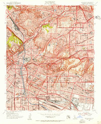
Historical Maps of Los Angeles Through Time
13 maps found
1928 Los Angeles
Los Angeles County, CA

1949 Los Angeles
Los Angeles County, CA
1953 Los Angeles
Los Angeles County, CA

1955 Los Angeles
Los Angeles County, CA
1959 Los Angeles
Los Angeles County, CA
1966 Los Angeles
Los Angeles County, CA
1966 Los Angeles
Los Angeles County, CA
1975 Los Angeles
Los Angeles County, CA

1979 Los Angeles
Los Angeles County, CA
2012 Los Angeles
Los Angeles County, CA
2015 Los Angeles
Los Angeles County, CA
2018 Los Angeles
Los Angeles County, CA
2022 Los Angeles
Los Angeles County, CA