1921 Map of Los Banos
USGS Topo · Published 1942About this map
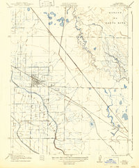
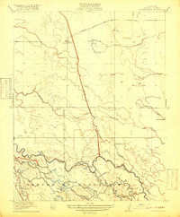
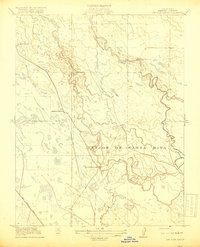
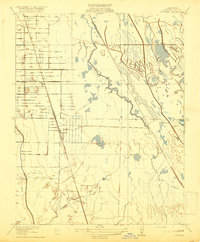
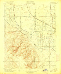
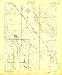
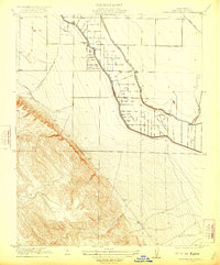
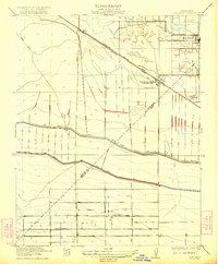
The central California landscape around Los Banos is defined by an intricate network of irrigation and transport in the early twentieth century. The San Joaquin and Kings River Canal cuts a prominent path through the terrain, illustrating the region's total reliance on water engineering for agricultural development. To the east, the meandering Mud Slough creates a sharp natural contrast to the straight-line efficiency of the Southern Pacific railroad and the Old Santa Fe Grade. This survey captures the small outposts of Gadwall and Abasto along the rail lines, serving as vital shipping points for local growers. Local education is anchored at Center School, situated among the organized grid of fields and lateral ditches that define the Merced County interior. The northern portion of the map is dominated by the broad topographical depression of the San Jon De Santa Rita, where seasonal wetlands and pools persisted before intensive land leveling.
Find a feature on this map
10 named features on this map. Tap any name to fly to it.
Don’t see what you’re looking for? This feature index may not catch every label — zoom into the map to look around manually.
Map Details
Editions of this 1921 Los Banos Map
2 editions found
Other maps of this area

1913 · Panoche
USGS Topo · 1:125,000

1916 · Delta Ranch
USGS Topo · 1:24,000
1918 · Turner Ranch
USGS Topo · 1:31,680
1919 · San Luis Ranch
USGS Topo · 1:31,680
1919 · Ingomar
USGS Topo · 1:31,680

1920 · Carrisalito Spring
USGS Topo · 1:31,680
1921 · Volta
USGS Topo · 1:31,680
1921 · Los Banos
USGS Topo · 1:31,680
1922 · Charleston School
USGS Topo · 1:31,680
1922 · Dos Palos
USGS Topo · 1:31,680