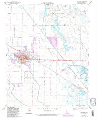
1960 Map of Los Banos
USGS Topo · Published 1987About this map
The agricultural and water management patterns of the Central Valley define Los Banos at a time when the town was expanding along Pacheco Boulevard. The map documents a dense network of irrigation infrastructure essential to the region's economy, including the Main Canal, San Luis Canal, and Arroyo Canal. These man-made waterways support a landscape shared between industrial farming and conservation, as seen in the Los Banos State Wildlife Area and the Los Banos Game Bird Farm. Community life centers around the Henry Miller Sch and the County Fairgrounds, while the Southern Pacific tracks provide a vital link to larger markets. To the east and south, various gun clubs like the Big Water Gun Club and Los Banos Gun Club indicate the importance of the wetlands for seasonal recreation and local wildlife management.
Find a feature on this map
76 named features on this map. Tap any name to fly to it.
Don’t see what you’re looking for? This feature index may not catch every label — zoom into the map to look around manually.
Map Details
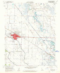
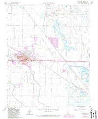
Editions of this 1960 Los Banos Map
3 editions found
Other maps of this area

1913 · Panoche
USGS Topo · 1:125,000

1916 · Delta Ranch
USGS Topo · 1:24,000

1918 · Turner Ranch
USGS Topo · 1:31,680

1919 · San Luis Ranch
USGS Topo · 1:31,680

1919 · Ingomar
USGS Topo · 1:31,680

1920 · Carrisalito Spring
USGS Topo · 1:31,680

1921 · Volta
USGS Topo · 1:31,680

1921 · Los Banos
USGS Topo · 1:31,680

1922 · Charleston School
USGS Topo · 1:31,680

1922 · Dos Palos
USGS Topo · 1:31,680